

Knowledge base · Service-King
GPS and RFID: how to link location to records
GPS can indicate the position of a vehicle equipped with a tracker. RFID helps recognize the marked item within the reader's reach. Linking data makes sense if you know what each source actually confirms.
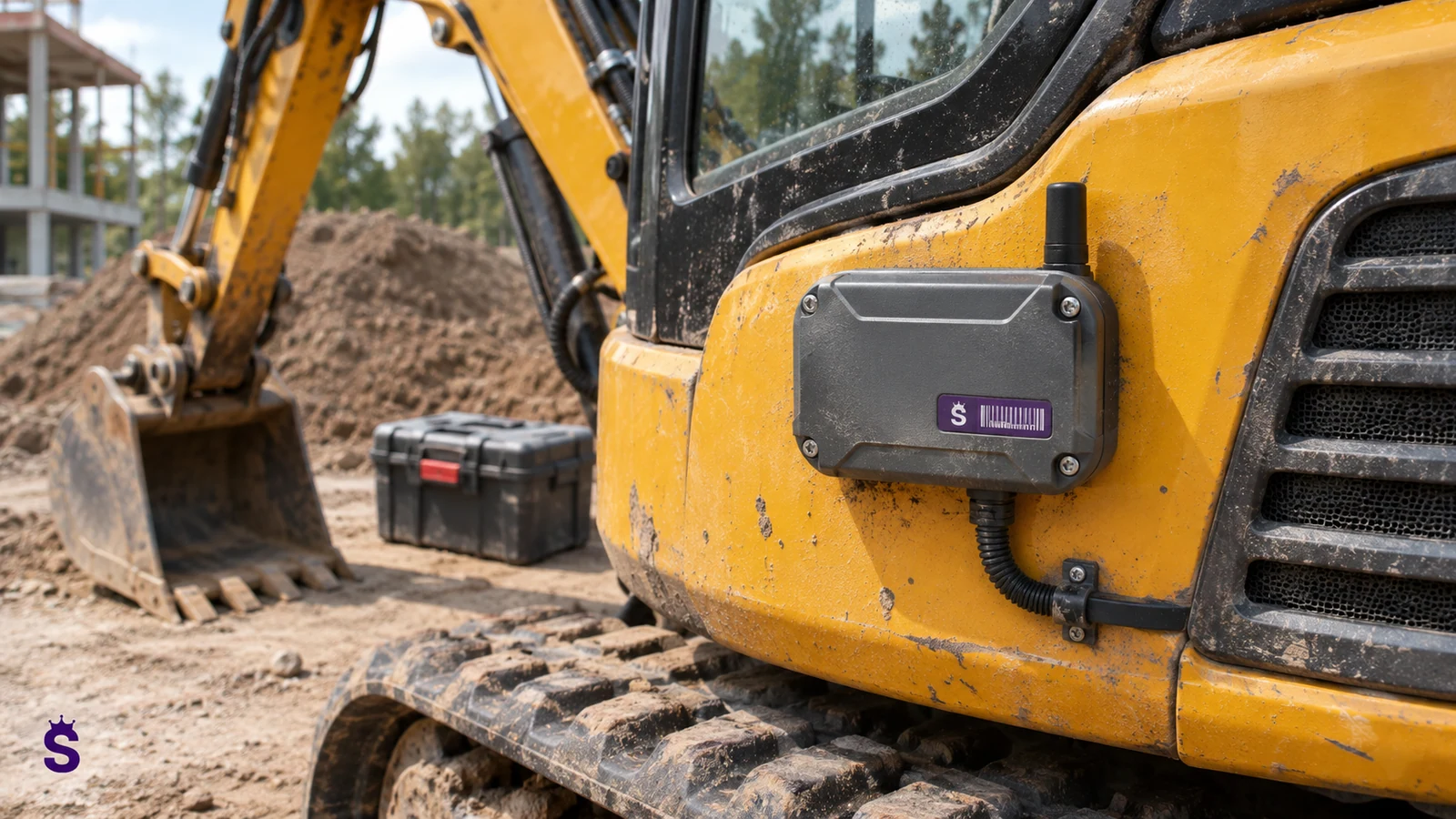
Two sources answer different questions
| Source | Which can confirm | What not to assume |
|---|---|---|
| Locator with GNSS and transmission | The position of the device at a specific time. | That every item on record is still in the vehicle. |
| UHF RFID reading | Specified ID detected in scope. | That the passive tag itself sends the GPS position. |
| Check-out record | Entrusting equipment to a person or location. | That it is a continuous measurement of the current position. |
A vehicle association has a beginning and an end
You can assign a kit to a car or crew before leaving. When some things remain on an object, this connection needs to be changed. The vehicle's position is described by the locator, not automatically by each previously issued item. The records should indicate when the presence of the equipment was last confirmed.
It is worth defining check-out to the team, transfer to the facility and return. Each operation may have a different confirmation. If the integration is to display a common view, it should distinguish measurement data from the stored relationship. Otherwise, one icon on the map will suggest accuracy that actual sources do not provide.
The timestamp is part of the location information
Data may arrive later than the event occurred. The source time and the way it is interpreted must be preserved. Once communication is restored, the outstanding reading should not look like a fresh confirmation of presence. The user must understand the age and origin of the information.
Set time zone, device synchronization and event order. Check the situation when the vehicle broadcasts its current position and the equipment list is from several hours ago. When working in the field, the lack of a GNSS signal or transmission is also important. None of these states should be hidden by an unchanged green checkmark.
Example: a service team's vehicle
Before departure, the operator checks the complete set of marked devices and records the handover to the team. The car's position comes from a separate telematics system. During work, some equipment may remain on the facility even though the vehicle continues to move.
The position of the car must not be confused with the proven position of each tool. Further workflow confirmations or properly designed readings are needed. Upon return, an inspection of the set clarifies what is actually missing.
What to agree when integrating systems
Connecting systems requires common identifiers, timestamps, and interpretation rules. Determine where the data comes from, how often it is updated and how you present the lack of fresh information. The ability to export records does not mean a ready connection to any GPS provider.
The scope of Service-King and possible integration should be confirmed for a specific project. The goal is a clear equipment history, not an apparent map of accuracy that the sources do not provide.
Show users how recent the information is
On the screen, it is worth distinguishing the last position of the locator from the last confirmation of the presence of the tool. For example, the car could have assigned its position a minute ago and the set was checked in the morning. Combining both data into one icon without a date can be misleading. The acceptance criteria should include such time separation and loss of communication. The team needs to know whether they are looking at the measurement or the latest record.
Related topic: IoT event interpretation.
How to describe data flow between systems
| Item | Arrangement required | Example of an error without a fix |
|---|---|---|
| Identifiers | Vehicle, Crew, and Asset Items. | Data association with a similarly named car. |
| Time | Source and method of ordering events. | Old reading shown as current. |
| Report | When an item is assigned to a vehicle. | The equipment remains at the facility, but continues on the map. |
| Repetitions | Message ID and retry rule. | Creating the same operation twice. |
| Collection | Exchange status and error visible. | Missing data can look like a valid absence of movement. |
A trial with one team before wider integration
Choose a route that includes typical drop-off, drop-off, and return. Check that all systems show consistent mileage. Add a controlled lack of communication and repeat the message. The success criterion should be related to a specific user decision. Does the manager know where to start looking and is this information fresh?
Compare also work without integration. Some of the problems may be due to missed handoffs, which needs to be corrected regardless of GPS. In construction workflows, quick service between teams is sometimes important; describes examples construction site equipment page.
Information to request from your telematics provider
- Description of the available interface and access rules.
- Vehicle IDs and time format.
- Update frequency and conditions.
- Rules for storing and sharing history.
- Method of signaling interruptions and errors.
- Costs and limitations of interface use.
Only on this basis can the scope of connection with the records be assessed. File sending and live event exchange are different integration methods that require different tests.
Scenario: the car returns and some of the equipment is left with the customer
After the work is completed, the vehicle goes to the base, but the device remains at the facility. If the system binds the equipment to the car indefinitely, the map will start showing an incorrect image. The vehicle relationship must have an end or next confirmation rule. What is needed is a transfer to the correct recipient or location, not an assumption that everything is still going together.
When receiving, compare the actual set. The missing device may have a valid transfer and not a missing status. Check whether the records allow you to distinguish this situation and indicate the document. If GPS data is presented alongside, it should have its own time and source. The morning check-out record and the last minute car position are not one common measurement.
In the integration test, also complete the subsequent pickup of an item left behind by another team. You should not create a fictitious route through the base. The history is supposed to describe the actual transfers, and telematics is supposed to provide the right context. The acceptance criteria may include the ability to quickly determine who last confirmed the equipment and when, without inferring its location solely from the vehicle's route.
| Area | Practical arrangement |
|---|---|
| Report | The moment of connection and termination of the relationship with the car. |
| Object | Device left behind confirmed. |
| Recipient | Downstream person or location. |
| Time | Separate GPS and equipment confirmation times. |
| Return | Actual list of accepted pieces. |
| Next team | Actual transfer without adding a missed route. |
A checklist for discussing the solution
- Are you tracking a vehicle, machine or small equipment?
- Do you need a current item or forwarding confirmation?
- What devices and interfaces does the telematics provider have?
- What will happen without transmission coverage?
- How can you distinguish the last recording from the current measurement?
See RFID and Bluetooth LE and records of equipment workflow.
Questions worth clarifying before implementation
Do I need to install GPS on every tool?
This is not due to the connection of the records with the vehicle. The appropriate range depends on your need. Passive UHF tag and broadcast locator are different devices, and the choice should correspond to the expected information.
Is the map alone enough to settle the set?
No. The set is settled based on actual transfers and returns. The map may provide additional context, but does not confirm the contents of the car.
Is there ready integration with every GPS?
Scope depends on vendor, interface and needs. The specific interoperability of the systems must be confirmed and not assumed based on the general possibility of data export.
Go to solutions related to this topic
- Equipment on construction sites - Handovers between warehouse, vehicles and crews.
- Inspection of tools and equipment - Specific pieces, check-outs, phrases and history.
- Map of locations and facilities - Structure of zones, shelves and saved places.
- The implementation process - Process analysis, markings, tests and assembly commissioning.
Free consultation
Let's connect the equipment workflow with the right data sources.
Describe the vehicles, assets and GPS system used. We will check what information is missing and what scope of integration makes sense.
Thank you for your inquiry.
Your message has been sent to the correct department. We will contact you to determine next steps.
Send another inquiry